BEAUTIFUL CASTRIL
CASTRIL - ACTIVITIES FOR EVERYONE | 
|
BEAUTIFUL CASTRIL | |||
| |||
 | Route 17 - Marmolance. |
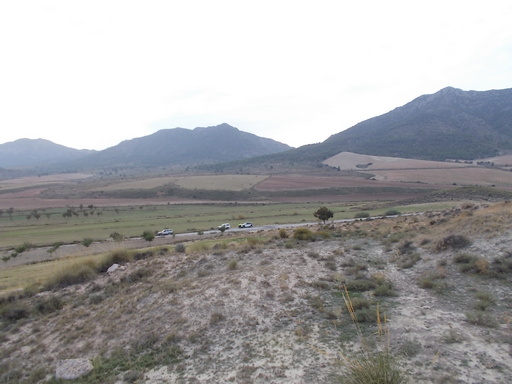 | Time: 0 mins. Location: A4301 GPS: 536090 / 4189632 | Comments: To get to the start of this walk, we have to drive from Castril in the direction of Huéscar on the A326. We come to a turn-off to the left at 538527 / 5185544 which has this signing. We follow this road past the hermitage on the left and continue for another 500m where we park. |
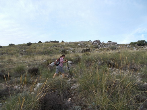 | Time: 0 mins. Location: A4301 GPS: 534634 / 4188734 | Comments: After parking up we cross the road and head west towards Marmolance. There are no clearly marked paths so we pick our way through the undergrowth. |
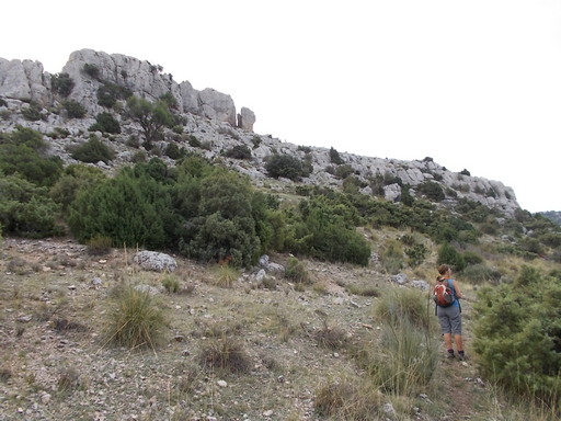 | Time: 15 mins. Location: Fence GPS: | Comments: We come across a fence on the left which we start to follow, scrambling through the bush. Eventually we come across a fence in front of us. In the corner of the two fences, someone has kindly placed some stones to help us climb over. We turn left (south) towards Marmolance. |
 | Time: 45 mins. Location: Western slopes of Marmolance. GPS: 534485 / 4188234 | Comments: We now come to an area whereby we have to scramble over rocks. There is no path so it is important to use our eyes to find the easiest route upwards over the rocks. |
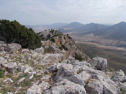 | Time: 1hr 10 mins. Location: The ridge. GPS: 514435 / 4188020 | Comments: We arrive at the ridge with views towards Huéscar as well as San Clemente to the west. To the north we can see La Sagra, the highest point in the area. |
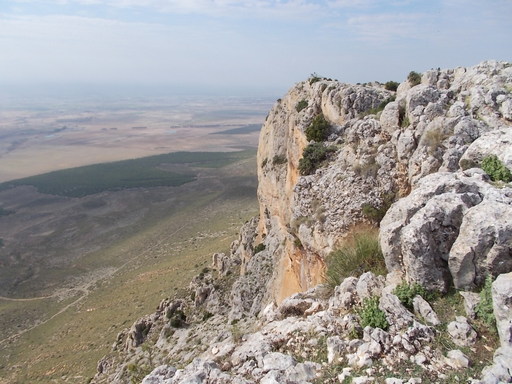 | Time: 1hr 30 mins. Location: The ridge GPS: 533484 / 4187315 | Comments: We spend some time enjoying the views and watching the griffon vultures flying below us. |
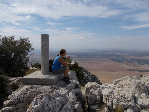 | Time: 1hr 50 mins. Location: Hermitage GPS: 532710 / 4187422 | Comments: We carry along the ridge and follow towards the high point due southwest. As we approach the peak, we see a hermitage in ruins. On climbing the peak, we see a trig point. |
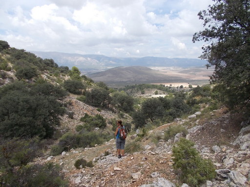 | Time: 2hr 10 mins. Location: Return down the western slopes. GPS: 533075 / 4187374 | Comments: We now start our descent by firstly heading northeast over some rocky scree until we see a gentle slope to our left. |
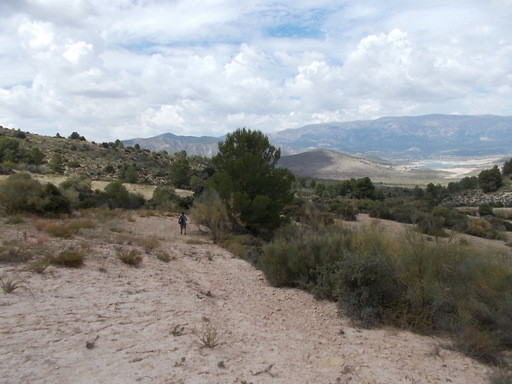 | Time: 2hr 30 mins. Location: Valley. GPS: 533444 / 4187867 | Comments: We come across a small valley which we follow downwards (nortwest) until we come to an almond grove and then a ploughed field which we cross. We see a ruined cortijo on our right, and a working one in front (north). |
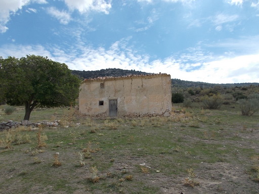 | Time: 2hr 40 mins. Location: Ruined cortijo. GPS: 533917 / 4188680 | Comments: Now on a clear farmtrack, we pass the ruined cortijo and continue to the first turning on the right. We take this track which brings us back to the transport. END OF WALK. |