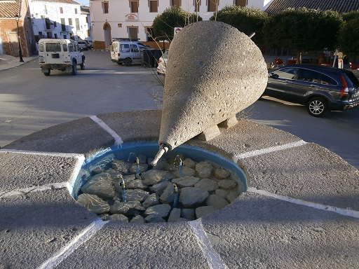
 | Time: 0 mins.
Location: Castril town centre.
GPS: 519394 / 4183249 | Comments:
We start at the mill wheels at the front of Bar Zafra. We have wisely put 2 litres of water in our rucksacks and are wearing hats! |
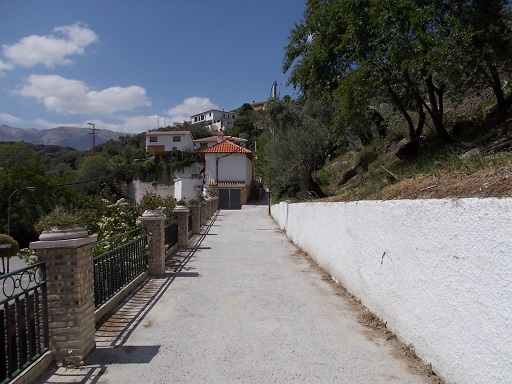 | Time: 5 mins.
Location: T junction.
GPS: 519352 / 4183392 | Comments:
Walking up the high street (Avenida Dr. Fernández Morales) to the main junction at the top of the town, we cross the road to join the steep hill (approx. 1 in 7 over 1.1km) rising to the left.
|
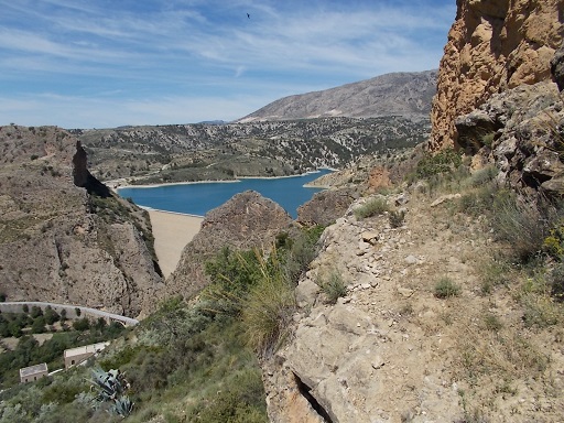 | Time: 20 mins.
Location: Hill road.
GPS: 519313 / 4184050 | Comments:
After passing some large houses on both sides, we find ourselves in the campo, and after about 800 metres we can see the reservoir (Pantano El Portillo) below us on the left. Also, we can see the rock called 'La Berenjena which means 'the aubergine' which, hopefully, is self-explanatory.
|
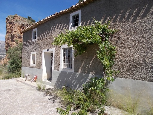 | Time: 25 mins.
Location: Cortijo Rafael
GPS: 519236 / 4184082 | Comments:
Ploughing on up the hill, we come across the track on the left which takes us to Cortijo Rafael which must have one of the best views in the World. Taking this exit we walk to the front of the cortijo.
|
 | Time: 30 mins.
Location: Puentezuelo
GPS: 519560 / 4184453 | Comments:
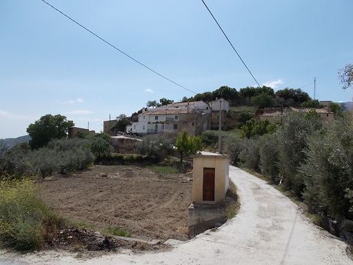
Returning to the road, we continue on to Puentezuelo where we turn left and walk through the village. On the left we pass a long straight pass bordered by impressive drystone walls. This was constructed in the mists of time but is still used for its original purpose of driving livestock (goats, cattle etc.) up to the village. We can walk the length of this pass whereby we are brought out above Cortijo Rafael. |
 | Time: 40 mins.
Location: Clifftop path
GPS: 519167 / 4184370 | Comments:
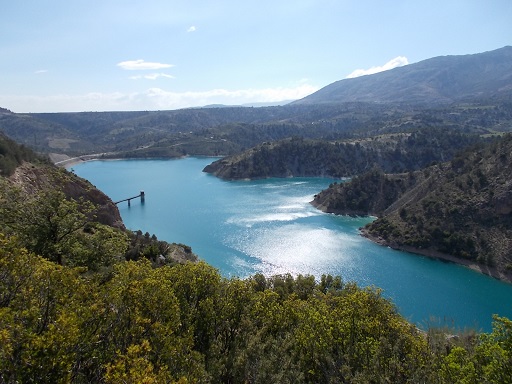
At the end of the village there is a beautiful cortijo (farmhouse) at the end of a drive. We can walk around to the right of the cortijo and then climb up to the transmitter which overlooks the whole of the Castril valley. Returning to the road in front of the cortijo, we encounter a tractor track that takes us along the edge of the cliffs with the reservoir on our left.
|
 | Time: 55 mins.
Location: Clifftop path and rocks.
GPS: 519212 / 4184500 | Comments:
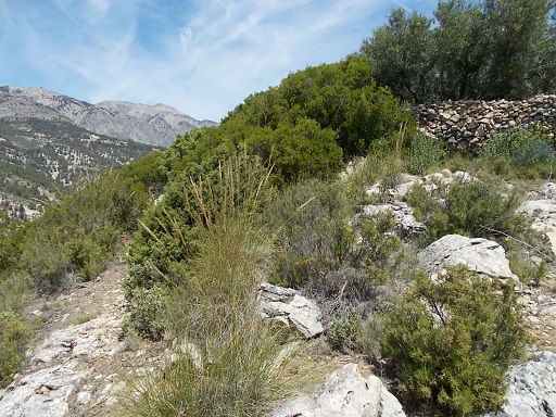
Continuing along this track we find ourselves in some olive groves. Take your pick as they all bring one to the same stone wall that appears to block our path. In fact, there is a path to the left of the wall which we follow until we get to see a large water deposit tank ahead. We now need to take a right through the field and then through an olive grove until we see a dirt road. Counter-intuitively, we turn right. The road then turns left taking us to a T junction.
|
 | Time: 1hr 20 mins.
Location: Los Cortijillos
GPS: 519421 / 4185574 | Comments:
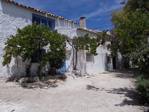
At the T junction, we turn left and follow the road slightly downhill whereby we see the reservoir again. In addition, we can see a group of cortijos sitting out over the reservoir. We visit the cortijos, only one of which is occupied.
|
 | Time: 1hr 30 mins.
Location: Cueva El Batán
GPS: 519452 / 4185298 | Comments:
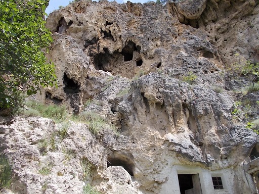
Returning from the cortijos we take the right exit which takes us down a steep track to 'Cueva El Batán'. There are a couple of caves above the abandoned property which are worth exploring. Access requires a certain amount of scrambling up cliffs, but the struggle is worth it.
|
 | Time: 2hr 10 mins.
Location: Return
GPS: | Comments:
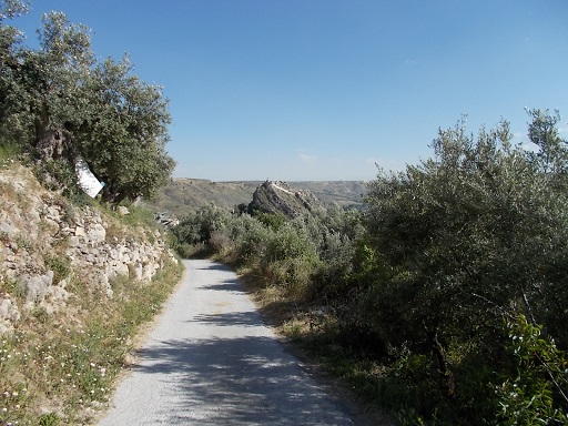
We return along the track, turning right and back up to the high plain and thus following the road back down to the town.
|

